Mercator. It’s a flat-flat world Информационное агентство ТАСС
This work
in other
nominations
Special Projects
Task
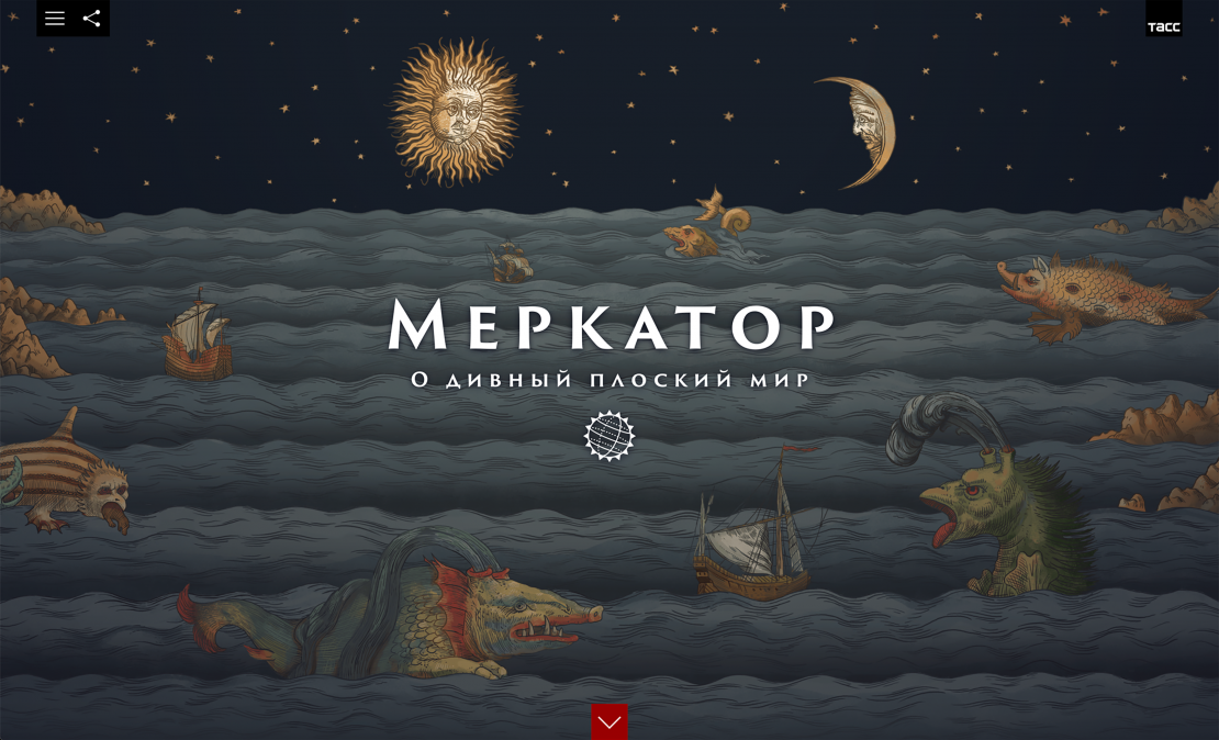
Mercator’s map turned out to be so handy and convenient that 450 years later it is still used for making nautical and aeronautical charts. We wanted to remind our readers of a man who made cartography great once, and to make it great again. The article is a beautiful infotainment piece for every curious soul, whether he/she is a student, or an average bored Internet scroller.
Ideas and solutions
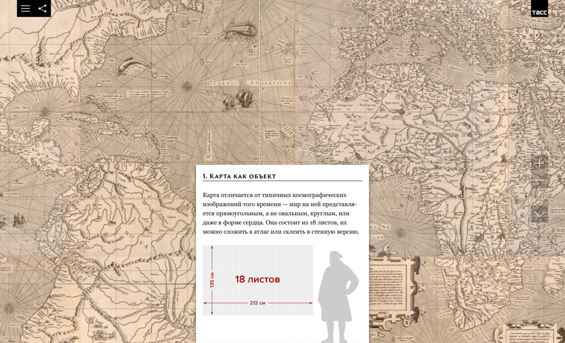
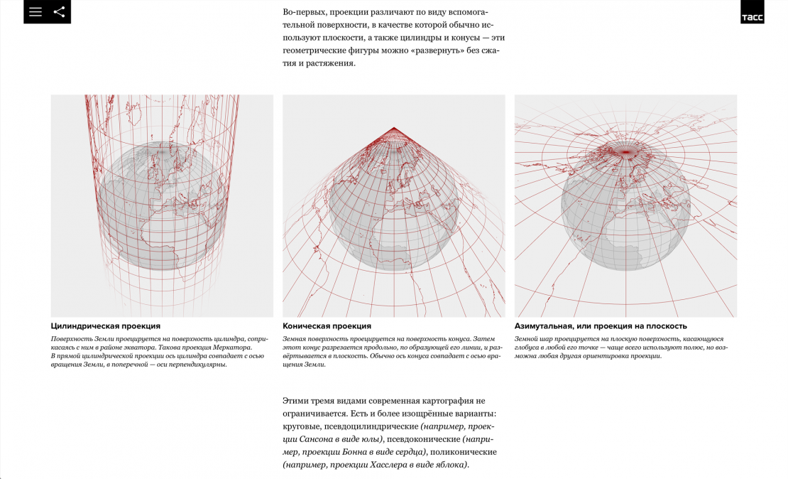
The interactive digital special project "Mercator. It’s a Flat, Flat World" tells the story of a famous map, published in 1569 by the flemish cartographer Gerhard Mercator. We describe the historical and scientific context of the epoch and share the personal story of its' creator. The key visual of the project is the map itself. We point at the mistakes, some curious facts and the unconditional advantages of this innovative projection, that glorified Mercator's name. In a somewhat modified version, it is used for topographic maps of dry land in the United States, Canada, France, Germany and other countries. It is also the basis for Google and Yandex maps and can be found on most GPS navigation systems known to any driver. A trace of Mercator’s heritage is found even in space research: all images of the Earth taken by the Sentinel-2 and Landsat satellites are shown in his projection.